
Hybrid AI Model Corrects Radar Errors in Greenland Ice Maps
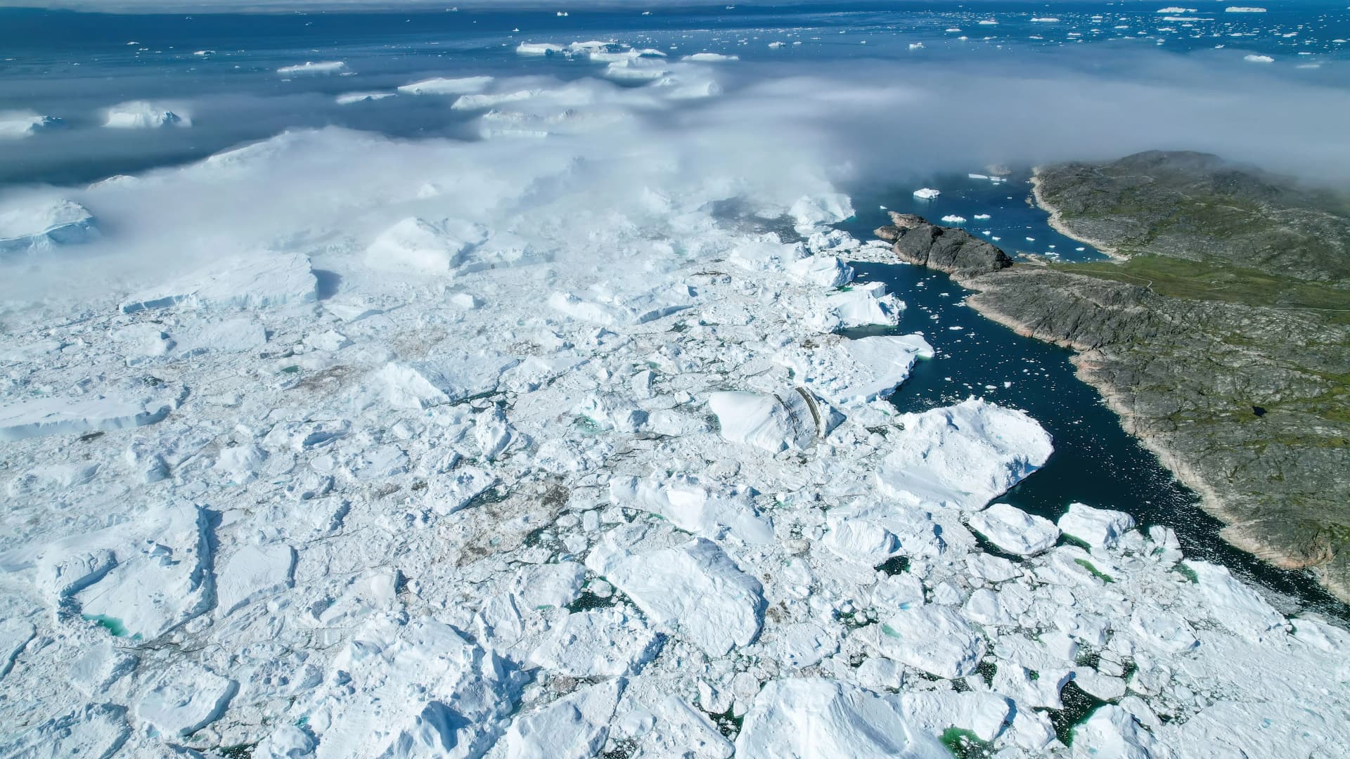
Giles Laurent · CC BY-SA 4.0 (via Wikimedia Commons)
The Core · TL;DR
- A new hybrid AI-physics model corrects penetration bias in radar-based elevation measurements of Greenland's ice sheet
- It combines parametric physical modeling with machine learning, rather than relying on ML alone
- Tested on TanDEM-X satellite data, the hybrid approach generalizes better than pure ML when training data has limited diversity
- It also reduces both average error and error variability compared to a physics-only baseline
Radar satellites measuring Greenland's ice sheet have long struggled with a subtle but consequential flaw: their signals penetrate snow and ice before bouncing back, making surfaces appear lower than they actually are. A new hybrid modeling approach, described in a paper submitted to arXiv on April 11, 2025, tackles that penetration bias by pairing physics with machine learning rather than relying on either alone.
The method, detailed under arXiv identifier 2504.08909, combines parametric physical modeling of radar penetration with a machine learning correction layer. It was built specifically to clean up digital elevation models (DEMs) derived from InSAR (interferometric synthetic aperture radar) data over glaciers and snow-covered terrain, where penetration bias is most severe.
Researchers tested the framework using TanDEM-X satellite data collected over Greenland's ice sheet, one of the most heavily monitored bodies of ice on the planet and a key indicator of global sea-level rise. The choice of test site matters: Greenland's ice loss is tracked partly through elevation change, so systematic measurement bias there has direct consequences for climate models.
Why the hybrid approach outperforms pure ML
The core finding is that the combined model generalizes far better than a machine-learning-only system, particularly when training data comes from a narrow range of acquisition conditions. Pure ML models tend to overfit to the specific radar geometries and weather scenarios they were trained on.
By grounding the correction in physical principles first, the hybrid framework avoids that trap. It uses the ML component to refine and adjust the physics-based estimate rather than to learn penetration bias from scratch, which reduces its dependence on broad, varied training datasets.
Compared with a purely physical modeling baseline, the hybrid system also delivered meaningfully smaller errors on Greenland test data. Both the average error and its variability across measurements dropped, according to the paper's results.
That combination, better generalization than ML alone and lower error than physics alone, is the paper's central claim. No contradictions or disputed figures were flagged around these results in the available reporting.
For remote sensing teams working on ice sheet monitoring, the approach offers a middle path between two familiar limitations. Pure physical models are robust but coarse, while pure ML models are flexible but data-hungry and brittle outside their training distribution. Blending the two directly targets a measurement problem that has long complicated efforts to track ice loss with precision.
Original reporting and research used to synthesize this article.
WAKIB Editorial Team
This review was prepared and summarized by the WAKIB AI intelligence engine and vetted by our editorial board for accuracy and reliability.
Subscribe to Newsletter
Get a weekly summary of the most promising AI research and tools delivered to your inbox.
Telegram Channel
Join our active community on Telegram for real-time tracking of AI models and trends.