
AI-Equipped Drone Makes First Rescue in Australian Alpine Wilderness, Locating Missing Hikers in Under Five Hours
The Core · TL;DR
- Two men in their 20s went missing on June 23, 2026, on the Dead Horse Gap track in Kosciuszko National Park, NSW, and were found within five hours.
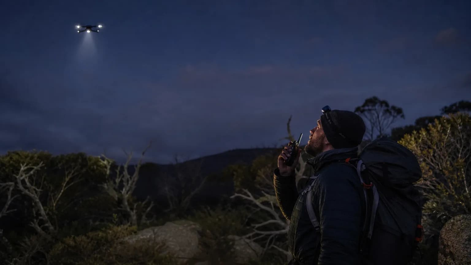
- A Fire and Rescue NSW drone using an AI detection system and thermal imaging located the hikers roughly 500 metres off the trail — a first operational use of the technology for missing persons.
- The hikers used a red mobile phone light to signal the drone; its onboard speaker and spotlight then coordinated the ground rescue.
- FRNSW officials say the AI system likely reduced the search timeline by several days, and are urging alpine hikers to register Personal Locator Beacons before trekking.
A Fire and Rescue NSW drone fitted with an artificial intelligence detection system and thermal imaging located two missing men in Kosciuszko National Park within five hours of their disappearance — a search that commanders say could otherwise have stretched across several days.
The two men, both in their 20s, failed to return to a designated rendezvous point on the evening of Tuesday, June 23, 2026, after walking the Dead Horse Gap track, roughly 35 kilometres south-west of Jindabyne in New South Wales. They were ultimately found approximately half a kilometre off the trail, suffering mild exposure but requiring no medical treatment.
First Operational Use of the AI System
The rescue marked the first time Fire and Rescue NSW (FRNSW) had deployed its drone's AI detection capability to find missing persons in the field. The system's thermal imaging proved critical in darkness, but so did the hikers themselves: the men used the red light on a mobile phone to flag their position to the drone overhead. Once contact was established, the drone's onboard speaker allowed rescuers to communicate directly with the pair, while its spotlight guided ground teams to their exact location.
FRNSW inspector and regional duty commander for the NSW Alpine area, Phillip Eberle, said the technology had the potential to compress what might have been a multi-day search into hours. In remote alpine terrain, where weather and visibility can deteriorate rapidly, that time compression carries serious implications for survival outcomes.
Operational Realities of Alpine Search and Rescue
The Dead Horse Gap track sits within a high-altitude environment where conditions can shift quickly, particularly in late June as winter deepens across the Snowy Mountains. Traditional ground searches in such terrain are logistically demanding, dependent on daylight, and constrained by the physical endurance of search teams. A drone platform capable of autonomously identifying heat signatures and human forms from altitude reconfigures those constraints substantially.
FRNSW commander John Marzol used the incident to reinforce existing safety protocols for visitors to the snowfields. He urged hikers to notify the National Parks and Wildlife Service before setting out and to register for free Personal Locator Beacons — devices that, unlike mobile phones, are purpose-built for emergency signalling in areas with no cellular coverage.
The successful deployment positions FRNSW's AI-assisted drone fleet as a credible frontline tool for wilderness search and rescue, with this outcome likely to accelerate its integration into standard alpine emergency response procedures.
Original reporting and research used to synthesize this article.
WAKIB Editorial Team
This review was prepared and summarized by the WAKIB AI intelligence engine and vetted by our editorial board for accuracy and reliability.
Subscribe to Newsletter
Get a weekly summary of the most promising AI research and tools delivered to your inbox.
Telegram Channel
Join our active community on Telegram for real-time tracking of AI models and trends.