
AI-Equipped Satellites and Cameras Race to Catch Wildfires Earlier
The Core · TL;DR
- Three FireSat satellites launched in July 2026 are the first of a planned 50-satellite constellation dedicated to wildfire detection
- FireSat uses infrared sensors and AI to spot fires as small as a beach bonfire, cross-checking weather and known heat sources to cut false alerts
- Pano AI has deployed over 1,400 AI-powered detection cameras across 17 US states, with human analysts confirming alerts within minutes
- Parts of the western US now face about two extra months of fire weather per year compared with the 1970s, driving demand for faster detection
Three satellites now orbiting Earth can spot a fire no bigger than a beach bonfire, and that precision is the point. Launched aboard a SpaceX rocket in July 2026, they form the first segment of FireSat, a planned constellation of 50 satellites built for a single purpose: catching wildfires before they spread.
Each satellite carries infrared sensors paired with AI models trained to detect heat signatures consistent with a new fire. The system doesn't just flag hot spots. It compares fresh imagery against earlier passes, factors in local weather, and screens out known heat sources like industrial sites, cutting down on false alarms before an alert ever reaches a human.
Once the full constellation is in orbit, FireSat is designed to re-scan every point on the planet roughly every 20 minutes, a cadence meant to shrink the window between ignition and response from hours to minutes.
A ground-based counterpart
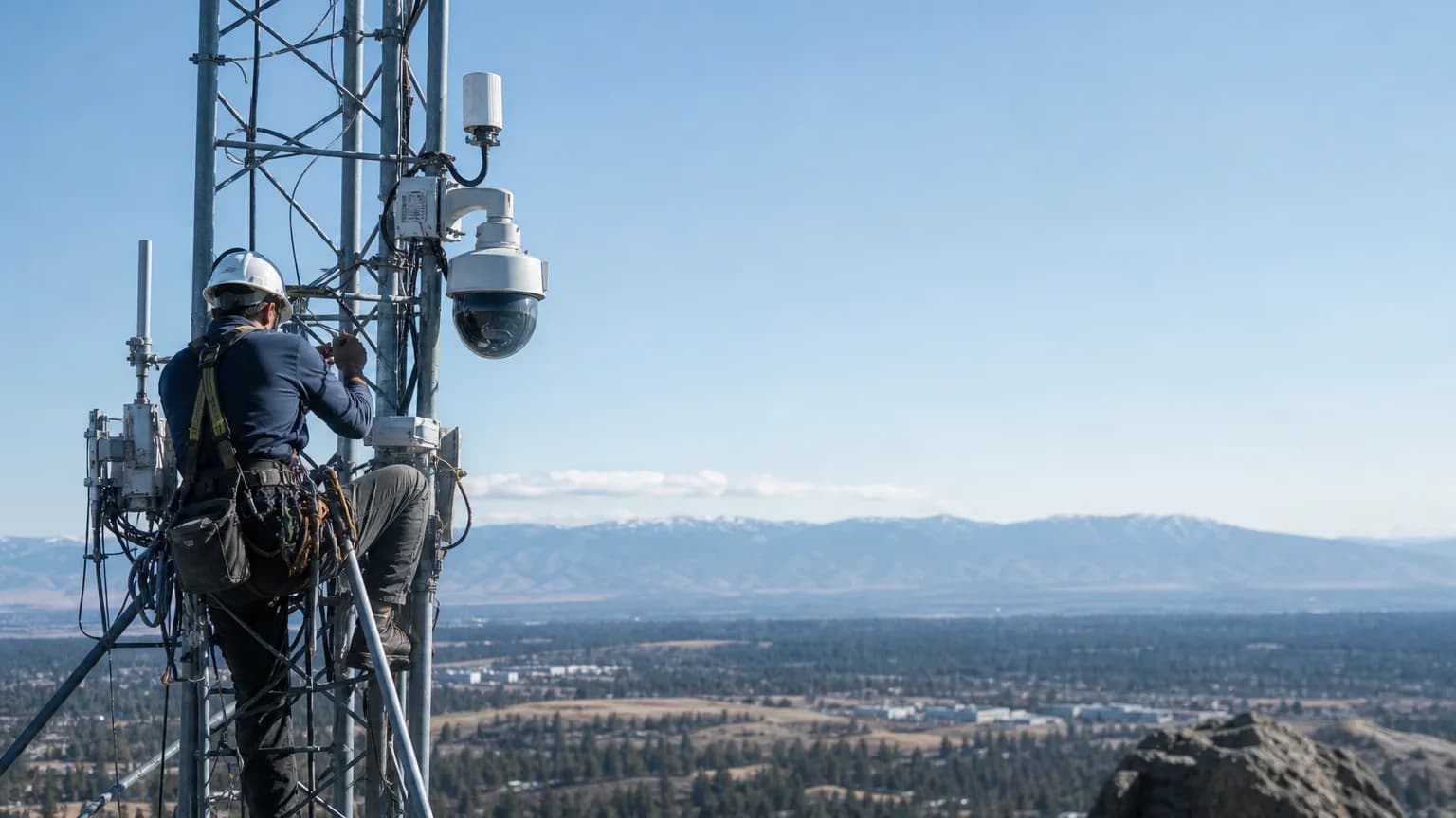
FireSat isn't the only AI system watching for smoke. Pano AI, a San Francisco startup co-founded by Arvind Satyam, has installed more than 1,400 wildfire-detection cameras across 17 states, mounted on towers and mountaintops for continuous coverage.
Those cameras use AI to scan for smoke during daylight and heat signatures after dark. Unlike FireSat's more automated pipeline, Pano AI routes flagged images to human analysts first, a review step the company says typically adds just a few minutes before an alert goes out to fire agencies.
Why the timing matters
The urgency behind both efforts traces to a measurable shift in fire conditions. Parts of the western United States now see roughly two additional months of fire weather each year compared with the 1970s, stretching the season fire agencies have to monitor and respond to.
That extended risk window played out this past summer in Spokane, Washington, where wildfires broke out in 2026, underscoring how quickly a small ignition can become a regional emergency if it goes undetected.
Satellite and ground-camera systems are increasingly viewed as complementary rather than competing. FireSat's orbital view offers broad, repeated coverage even in remote terrain, while Pano AI's fixed cameras provide continuous, closer-range monitoring in specific high-risk corridors.
Neither system replaces firefighters on the ground, but both are aimed at the same bottleneck: the minutes and hours between a spark and the moment crews learn about it. As fire seasons lengthen, that gap is where AI-driven detection is being asked to make the biggest difference.
Original reporting and research used to synthesize this article.
WAKIB Editorial Team
This review was prepared and summarized by the WAKIB AI intelligence engine and vetted by our editorial board for accuracy and reliability.
Subscribe to Newsletter
Get a weekly summary of the most promising AI research and tools delivered to your inbox.
Telegram Channel
Join our active community on Telegram for real-time tracking of AI models and trends.